TM 1-1510-223-10
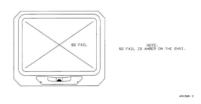
Figure 3-12. EADI Input/Output Processer Failure Indications
(9) Distance display. The distance display
indicates the distance in nautical miles to the selected
DME station or INS waypoint When short range
navigation information is being used the distance will be
displayed in a 0 to 399.9 nautical mile format When long
range navigation (INS) information is being used the
distance will be displayed in a 0 to 3999 nautical mile
format
DME distance is supplied to the EFIS by channels # 1
and #2 of the three channel TACAN/DME unit Channel #
1 provides the TACAN distance data when TACAN is the
selected navigation source or DME distance data when
NAV1 is the selected navigation source. Channel #2
provides distance data when NAV2 is the selected
navigation source.
(10)
Preview course pointer navigation source
annunciator. The preview course pointer navigation
source annunciator displays which navigation source is
being used by the preview course pointer.
(11)
Glideslope deviation pointer, annunciator,
and scale. The glideslope deviation pointer shows aircraft
deviation from the center of the glideslope beam. The G
annunciator on the glideslope deviation pointer indicates
that the information being presented is glideslope
deviation. Deviation from the center of the glideslope
beam is measured by the glideslope scale. The distance
between two dots is equal to a 0.35 degree deviation.
The glideslope display will not be present on the EHSI
unless a valid ILS frequency has been tuned.
(12)
Course deviation bar. The
course
deviation bar represents the centerline of the selected
VOR, localizer, or TACAN course, or inertial navigation
system (INS) track. The aircraft symbol pictorially shows
the aircraft's position in relation to the selected course or
track.
(a) VOR/TACAN.
When
the
selected
navigation source is a VOR or TACAN station each dot on
either side of the aircraft symbol represents a 5 degree
deviation from the centerline of the course. When the
selected navigation source is a localizer, each dot
represents a 1 degree deviation from the centerline of the
course. When the selected navigation source is the INS,
each dot represents 3.75 nautical miles of cross track
deviation
(b) Back course (BC). When back course
(BC) mode has been selected, or when a localizer
frequency has been tuned and the selected course is
more than 90 degrees from aircraft heading, course
deviation will automatically reverse to provide proper
deviation sensing with respect to the course centerline.
The course deviation bar always indicates the location of
the course centerline relative to the nose of the aircraft
3-31


