TM 1-1510-223-10
Figure 3-16. EISI Partial Compass VOR Map Mode
The course pointer and course deviation bar displays
will be removed.
Both bearing pointers will be removed.
A full-scale navigation deviation display and deviation
bar will be present on the bottom of the EHSI display.
This will show the position of the aircraft with respect to
the selected course.
The map mode deviation display functions as a
simple, fixed-card course deviation indicator for VOR or
TACAN data. As long as the aircraft is headed within 90
degrees of the selected course or selected radial, and as
long as the to-from annunciation is correct, the course
deviation indicator (CDI) will be directional; otherwise, it
will display reverse sensing and the techniques required
for reverse sensing will apply.
When the navigation source is a localizer, and the
aircraft has a heading greater than 90 degrees to the
selected inbound localizer course, the CDI will reverse
polarity, but will remain directional.
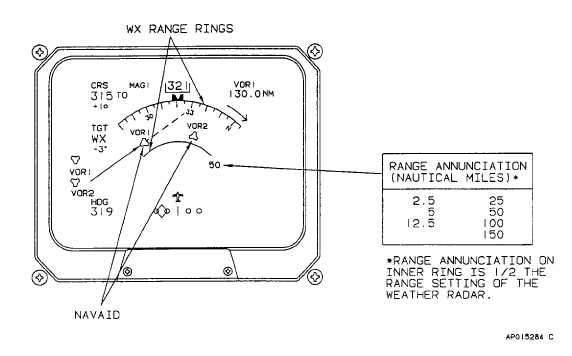
When VOR or TACAN stations are shown on the
EFIS map, a solid or dashed course line is drawn through
the selected navigation source. The solid line represents
the selected inbound course to the station. The dashed
line represents the selected outbound radial from the
station. If TACAN has been selected as the NAV source,
the identifier will be displayed adjacent to the navaid
symbol. Crossside navaid identifiers are not available.
If the VOR or TACAN stations are out of range of the
EFIS map, either a solid magenta or dashed magenta line
will appear if within the 90 degree arc. A solid magenta
line with an arrow indicates the inbound course to the
station. A dashed magenta lines indicates the outbound
radial.
e.
EHSI Long Range Navigation (LRN) Multiple
Waypoint Map Mode. The EFIS can display multiple
waypoints from a long range navigation (INS) system (fig.
3-17).
With the INS programmed for multiple waypoints, and
the weather radar range set to a range allowing display of
multiple waypoints, selecting the MAP mode will permit
up to six (6) to be displayed on the EHSI.
When the map mode has been selected, the following
will occur:
The course pointer and course deviation bar displays
will be removed.
Both bearing pointers will be removed.
The multiple waypoints will appear on the EHSI.
3-36